

Beyond a scanned map
A map image displays geography. A geographic information system can also organise points, lines and areas with attributes. A digital history collection marker can therefore connect a position with a description and source.
Layers and questions
Separate layers allow roads, water and cultural sites to be shown selectively. Different users can explore the same area for different purposes.
A wider audience
GIS developed through research, government and commercial work. Desktop and networked applications brought mapping to more users. Esri’s historical overview documents parts of that development.
A marker is a claim
Coordinates and visitor information need verification and dates. An old listing does not establish current operation. For technological tourism, a useful map explains why a place matters rather than merely accumulating pins. It connects location with historical meaning and can become the beginning of a physical or digital visit.
Sources and further reading
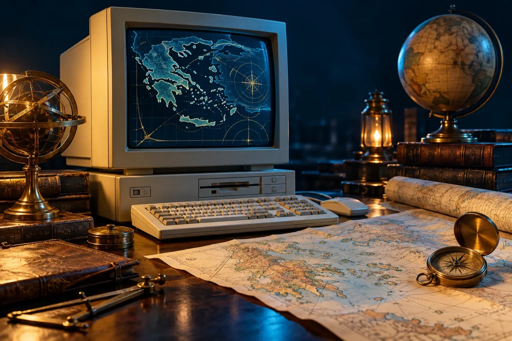
The accompanying image was created with AI for PC.gr as an artistic illustration of this article’s subject.
Σύνταξη & Επιμέλεια: Βλαχογιάννης Λ. Γεώργιος
Μέλος της Ένωσης Συντακτών Εφημερίδων, Περιοδικών και Ηλεκτρονικών Μέσων Βορείου Ελλάδος